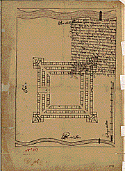
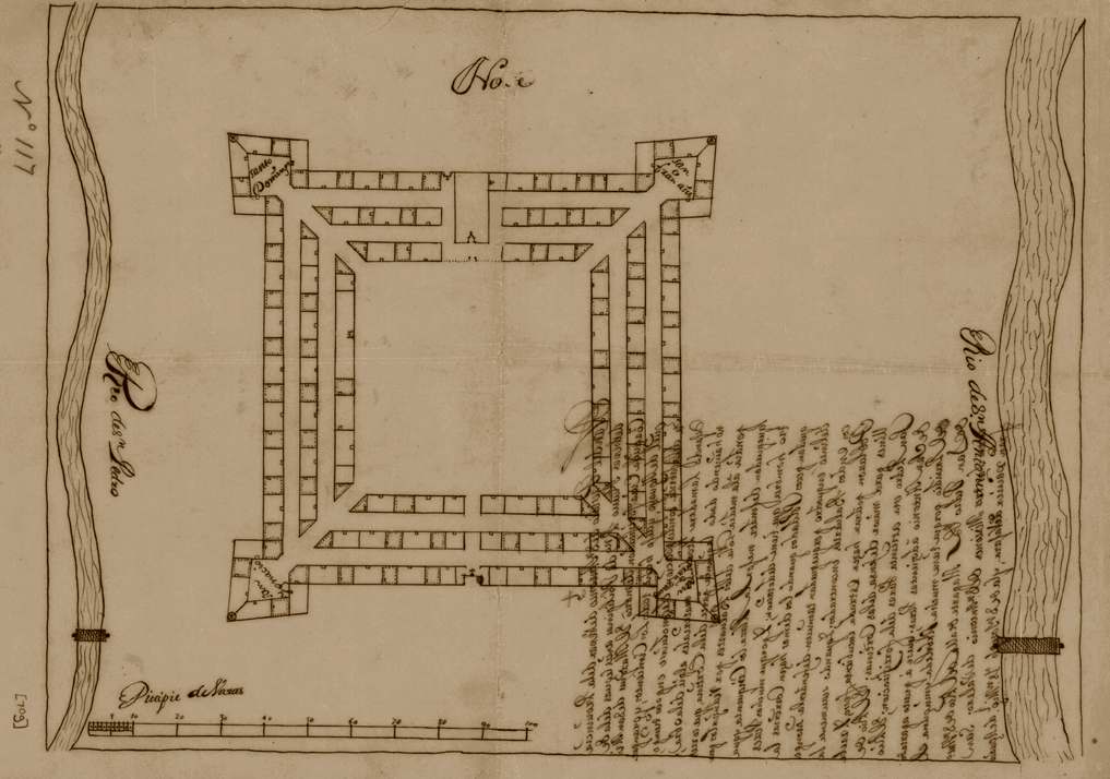
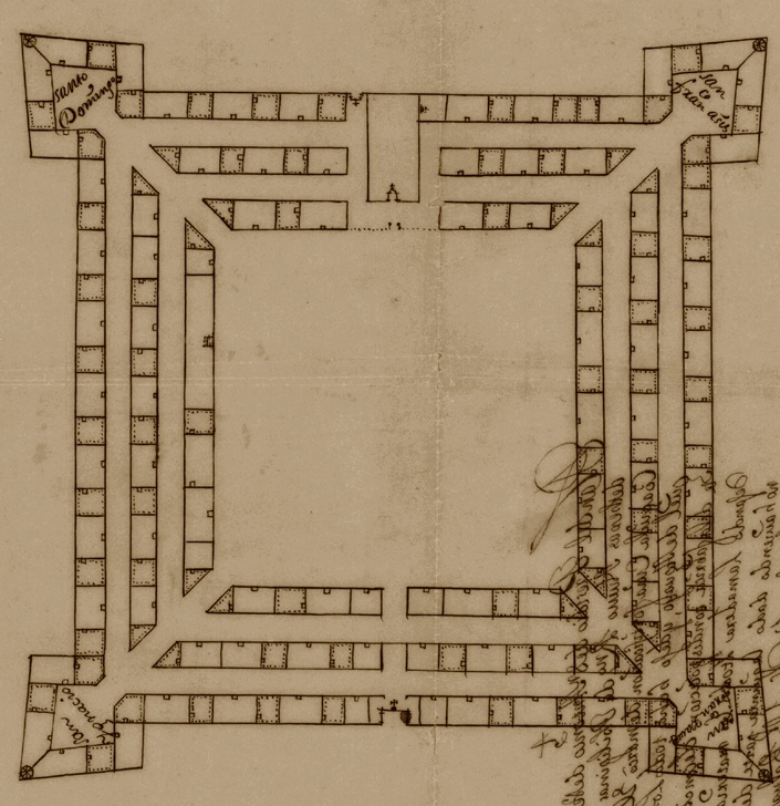
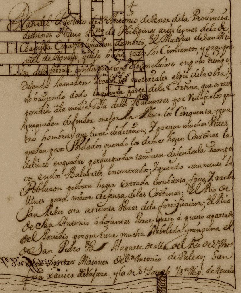
Publisher: Traced by Elizabeth Howard West, 1912enlarged view [78k] detail of plat [188k] With directional North to the top of the image. detail of script [223k] Right-reading.
Scale: 18 cm = 100 varas
Size: 30 cm x 42 cm
Type of map: plan
Format: b&w/ms
Language: Spanish
Conservation note: brittle, torn
[Title,cont.] ... Nuevo Reino de Filipinas a seis leguas delas Coaguila, uya fortification demarco el Marques de San Miguel de Aguayo,... Translation of title: (Plan of the Presidio of San Antonio de Vexar (Bexar) in the Province of Texas, New Phillapines, six leagues from Coahuila, whose fortifications were marked out by the Marques de San Miguel de Aguayo, ...) The presidio is located between the San Pedro and San Antonio Rivers, and bridges are shown over each. There is a lengthy note on the back of the map. This map is in Spanish. This is a tracing done by Elizabeth Howard West in 1912. The original map is in the Archivo General de Indias, Sevilla, Espana, Mapas y Planos, Mexico, no. 117. Size of the original is 30 cm x 42 cm. 4/16/82.
Courtesy: Texas State Library and Archives Commission. TSLAC Map Archive Map 70g.
See Also:
Presidios of the Line
The establishment of the Presidial System in Northern
New Spain.